Geolocate

Koslar topographic map

Click on the map to display elevation.

About this map

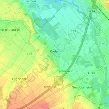
Name: Koslar topographic map, elevation, terrain.

Location: Koslar, Jülich, Kreis Düren, North Rhine-Westphalia, Germany (50.90296 6.29095 50.94561 6.34713)

Average elevation: 295 ft

Minimum elevation: 217 ft

Maximum elevation: 410 ft

Other topographic maps

Click on a map to view its topography, its elevation and its terrain.

Gear up for your next adventure:

📦Gear Storage Bags - Organize and protect outdoor equipment
🧯Portable Fire Pit - Compact fire pit for camping spots
🪶Camp Gear Gift Set - Perfect gift bundle for outdoor fans
🚑Emergency Bivvies - Heat-reflective sleeping bags for survival situations
🌡️Handheld Weather Meters - Measure wind, temp, and pressure for safe mountain travel

As an Amazon Associate, this site earns from qualifying purchases at no extra cost to you.