
Балаково topographic map
Interactive map
Click on the map to display elevation.
About this map
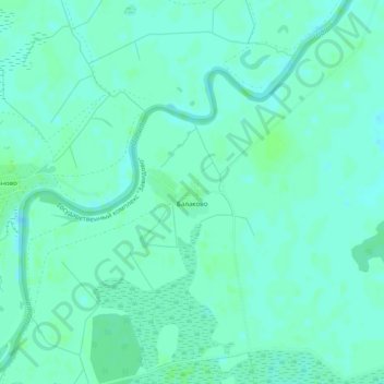
Name: Балаково topographic map, elevation, terrain.
Average elevation: 410 ft
Minimum elevation: 397 ft
Maximum elevation: 423 ft
Other topographic maps
Click on a map to view its topography, its elevation and its terrain.
Эммаусс
Russia > Tver Oblast > Kalininsky District
Эммаусс, Эммаусское сельское поселение, Kalininsky District, Tver Oblast, Central Federal District, 170530, Russia
Average elevation: 449 ft
Верхневолжское сельское поселение
Russia > Tver Oblast > Kalininsky District
Верхневолжское сельское поселение, Kalininsky District, Tver Oblast, Central Federal District, Russia
Average elevation: 515 ft