Geolocate

Jessup topographic map

Click on the map to display elevation.

About this map

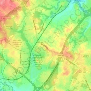
Name: Jessup topographic map, elevation, terrain.

Location: Jessup, Anne Arundel County, Maryland, 20794, United States (39.11422 -76.81190 39.17977 -76.75334)

Average elevation: 213 ft

Minimum elevation: 72 ft

Maximum elevation: 384 ft

Anne Arundel County trails, hiking, mountain biking, running and outdoor activities

Gear up for your next adventure:

🔊Portable Camp Speaker - Music and alerts at camp
🧭Outdoor Navigation Book - Learn advanced navigation skills
🧭Compass with Lanyard - Easy‑carry compass for navigation
🚁Photography Drones - Capture stunning aerial views of landforms and topography
📚USA Hiking Guide Books - Top trail guides and map books

As an Amazon Associate, this site earns from qualifying purchases at no extra cost to you.