Geolocate

Forget topographic map

Click on the map to display elevation.

About this map

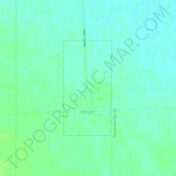
Name: Forget topographic map, elevation, terrain.

Location: Forget, Division No 1, Saskatchewan, Canada (49.64640 -102.87580 49.66094 -102.86442)

Average elevation: 2,014 ft

Minimum elevation: 1,998 ft

Maximum elevation: 2,031 ft

Gear up for your next adventure:

🎒Gear Packing Cubes - Organize your backpack efficiently
📌Outdoor GPS Map App - Apps and devices for digital topographic navigation
🧭Outdoor Navigation Book - Learn advanced navigation skills
🪑Portable Camp Table - Compact table for campsite meals
🗺️NatGeo Topo Maps - High-quality waterproof printed topographic maps of US Parks

As an Amazon Associate, this site earns from qualifying purchases at no extra cost to you.