
Thank you for supporting this site ❤️
Make a donation
Make a donation
Gear up for your next adventure:
As an Amazon Associate, this site earns from qualifying purchases at no extra cost to you.
Trinchera topographic map
Click on the map to display elevation.
Thank you for supporting this site ❤️
Make a donation
Make a donation
Gear up for your next adventure:
As an Amazon Associate, this site earns from qualifying purchases at no extra cost to you.
About this map
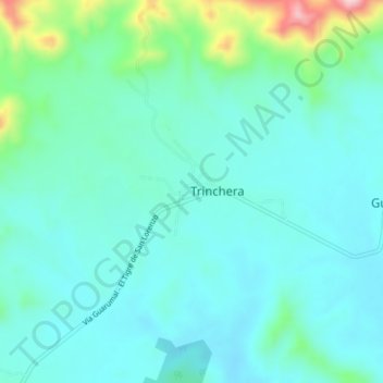
Name: Trinchera topographic map, elevation, terrain.
Location: Trinchera, Guarumal, Distrito Soná, Veraguas, Panamá (7.77910 -81.29980 7.81910 -81.25980)
Average elevation: 203 ft
Minimum elevation: 39 ft
Maximum elevation: 889 ft
Thank you for supporting this site ❤️
Make a donation
Make a donation
Gear up for your next adventure:
As an Amazon Associate, this site earns from qualifying purchases at no extra cost to you.