
Mount Botolan topographic map
Click on the map to display elevation.
About this map
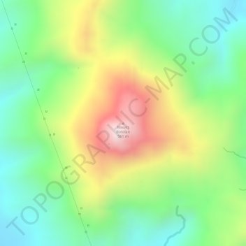
Name: Mount Botolan topographic map, elevation, terrain.
Location: Mount Botolan, Zambales, Central Luzon, 2203, Philippines (15.23356 120.04301 15.23366 120.04311)
Average elevation: 807 ft
Minimum elevation: 66 ft
Maximum elevation: 1,847 ft
Other topographic maps
Click on a map to view its topography, its elevation and its terrain.