Geolocate

Benchmark topographic map

Click on the map to display elevation.

About this map

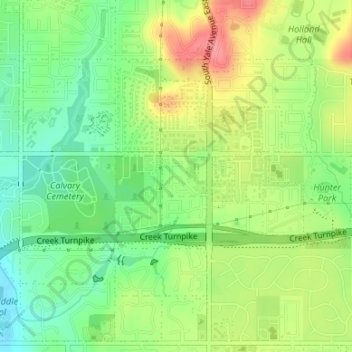
Name: Benchmark topographic map, elevation, terrain.

Location: Benchmark, Tulsa, Tulsa County, Oklahoma, United States (36.02864 -95.92659 36.03174 -95.92229)

Average elevation: 728 ft

Minimum elevation: 617 ft

Maximum elevation: 873 ft

Tulsa County trails, hiking, mountain biking, running and outdoor activities

Gear up for your next adventure:

📱Heavy-Duty Phone Cases - Drop-proof and waterproof protection for outdoor navigation
🧭Map Reading Tools - Tools and kits for map navigation
🏔️Mountain Trail Maps - High‑detail maps for popular peaks
🏫Relief Map Kits - Hands-on tools for teaching landforms and elevation
🪶Compact Camp Shovel - Folding shovel for campsite tasks

As an Amazon Associate, this site earns from qualifying purchases at no extra cost to you.