
Šenkovec topographic map
Interactive map
Click on the map to display elevation.
About this map
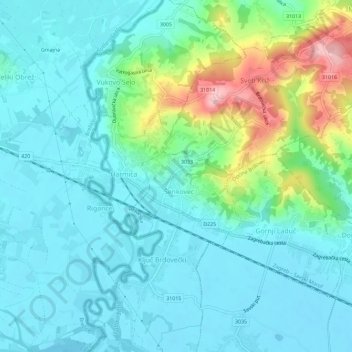
Name: Šenkovec topographic map, elevation, terrain.
Location: Šenkovec, Općina Brdovec, Zagreb County, 10292, Croatia (45.87193 15.67454 45.91193 15.71454)
Average elevation: 558 ft
Minimum elevation: 433 ft
Maximum elevation: 1,014 ft