Geolocate

Hauz Rani topographic map

Click on the map to display elevation.

About this map

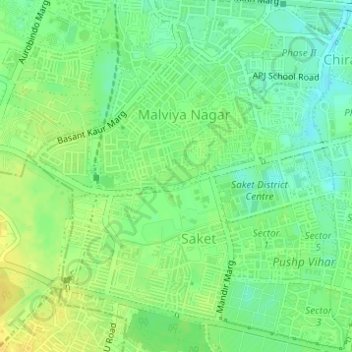
Name: Hauz Rani topographic map, elevation, terrain.

Location: Hauz Rani, Hauz Khas Tehsil, South Delhi, Delhi, 110017, India (28.51918 77.20176 28.53918 77.22176)

Average elevation: 755 ft

Minimum elevation: 715 ft

Maximum elevation: 791 ft

Other topographic maps

Click on a map to view its topography, its elevation and its terrain.

Shivalik

India > Delhi > Hauz Khas Tehsil

Average elevation: 755 ft

Gear up for your next adventure:

🏕️Tent Footprint - Protect your tent base from wear
🛡️Bear Spray Outdoor - Protection in bear country hikes
🔋Solar Power Banks - Keep your GPS and phone charged in remote wilderness areas
🪶Compact Camp Shovel - Folding shovel for campsite tasks
🛏️Cold Weather Sleeping Bag - Warm sleeping bag for cold conditions

As an Amazon Associate, this site earns from qualifying purchases at no extra cost to you.