
Mattersburg topographic map
Interactive map
Click on the map to display elevation.
Mattersburg
Vor Christi Geburt war das Gebiet Teil des keltischen Königreiches Noricum und gehörte zur Umgebung der keltischen Höhensiedlung Burg auf dem Schwarzenbacher Burgberg.
About this map
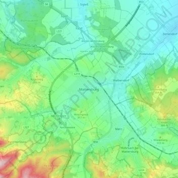
Name: Mattersburg topographic map, elevation, terrain.
Location: Mattersburg, Bezirk Mattersburg, Burgenland, 7210, Österreich (47.69684 16.35805 47.77684 16.43805)
Average elevation: 932 ft
Minimum elevation: 640 ft
Maximum elevation: 1,752 ft