
Make a donation
Gear up for your next adventure:
As an Amazon Associate, this site earns from qualifying purchases at no extra cost to you.
Wolfshagen topographic map
Click on the map to display elevation.
Make a donation
Gear up for your next adventure:
As an Amazon Associate, this site earns from qualifying purchases at no extra cost to you.
About this map
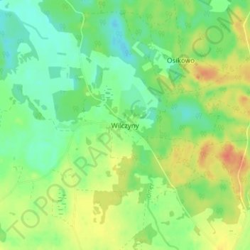
Name: Wolfshagen topographic map, elevation, terrain.
Average elevation: 223 ft
Minimum elevation: 164 ft
Maximum elevation: 302 ft
Make a donation
Gear up for your next adventure:
As an Amazon Associate, this site earns from qualifying purchases at no extra cost to you.
Other topographic maps
Click on a map to view its topography, its elevation and its terrain.
Rößel
Polen > Woiwodschaft Ermland-Masuren > powiat kętrzyński
Die Stadt liegt im historischen Ermland, am Nordhang des Baltischen Höhenrückens, rechts der Zaine, nicht weit von den sich östlich erstreckenden Großen Masurischen Seen, etwa 55 Kilometer nordöstlich von Olsztyn (Allenstein).
Average elevation: 358 ft