
Thank you for supporting this site ❤️
Make a donation
Make a donation
Gear up for your next adventure:
As an Amazon Associate, this site earns from qualifying purchases at no extra cost to you.
Piñor topographic map
Click on the map to display elevation.
Thank you for supporting this site ❤️
Make a donation
Make a donation
Gear up for your next adventure:
As an Amazon Associate, this site earns from qualifying purchases at no extra cost to you.
About this map
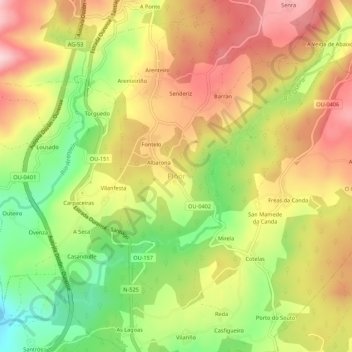
Name: Piñor topographic map, elevation, terrain.
Location: Piñor, O Carballiño, Ourense, Galicia, 32137, Spain (42.47839 -8.02517 42.51839 -7.98517)
Average elevation: 1,775 ft
Minimum elevation: 1,335 ft
Maximum elevation: 2,165 ft
Thank you for supporting this site ❤️
Make a donation
Make a donation
Gear up for your next adventure:
As an Amazon Associate, this site earns from qualifying purchases at no extra cost to you.