Geolocate

Inverlochlarig topographic map

Click on the map to display elevation.

About this map

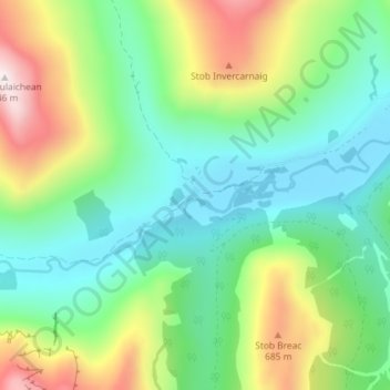
Name: Inverlochlarig topographic map, elevation, terrain.

Location: Inverlochlarig, Stirling, Scotland, FK19 8PH, United Kingdom (56.31012 -4.54801 56.35012 -4.50801)

Average elevation: 1,243 ft

Minimum elevation: 410 ft

Maximum elevation: 3,074 ft

Gear up for your next adventure:

🎒Hydration Pack - Hands‑free water reservoir for long hikes
🎒Outdoor Daypacks - Lightweight backpacks designed for carrying maps and essential gear
🧦Hiking Socks - Comfortable socks to prevent blisters on long hikes
🎁Geography Themed Gifts - Unique gift ideas for map lovers and geography enthusiasts
🦟Ultrasonic Repellers - Create a bug-free zone at your camp or rest stop

As an Amazon Associate, this site earns from qualifying purchases at no extra cost to you.