
Thank you for supporting this site ❤️
Make a donation
Make a donation
Gear up for your next adventure:
As an Amazon Associate, this site earns from qualifying purchases at no extra cost to you.
Nucleo 31B Entre Rios topographic map
Click on the map to display elevation.
Thank you for supporting this site ❤️
Make a donation
Make a donation
Gear up for your next adventure:
As an Amazon Associate, this site earns from qualifying purchases at no extra cost to you.
About this map
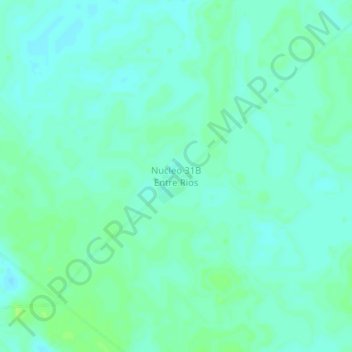
Name: Nucleo 31B Entre Rios topographic map, elevation, terrain.
Average elevation: 735 ft
Minimum elevation: 719 ft
Maximum elevation: 751 ft
Thank you for supporting this site ❤️
Make a donation
Make a donation
Gear up for your next adventure:
As an Amazon Associate, this site earns from qualifying purchases at no extra cost to you.
Other topographic maps
Click on a map to view its topography, its elevation and its terrain.
Nucleo 15 Villa Pampa
Bolivia > Santa Cruz > Provincia Ñuflo de Chávez > Municipio San Julián
Average elevation: 778 ft