
Ichhawar Tahsil topographic map
Interactive map
Click on the map to display elevation.
About this map
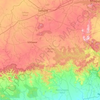
Name: Ichhawar Tahsil topographic map, elevation, terrain.
Location: Ichhawar Tahsil, Sehore, Madhya Pradesh, 466115, India (22.82342 76.83552 23.14235 77.44499)
Average elevation: 1,506 ft
Minimum elevation: 961 ft
Maximum elevation: 2,139 ft