
Thank you for supporting this site ❤️
Make a donation
Make a donation
Gear up for your next adventure:
As an Amazon Associate, this site earns from qualifying purchases at no extra cost to you.
Umm Furs topographic map
Click on the map to display elevation.
Thank you for supporting this site ❤️
Make a donation
Make a donation
Gear up for your next adventure:
As an Amazon Associate, this site earns from qualifying purchases at no extra cost to you.
About this map
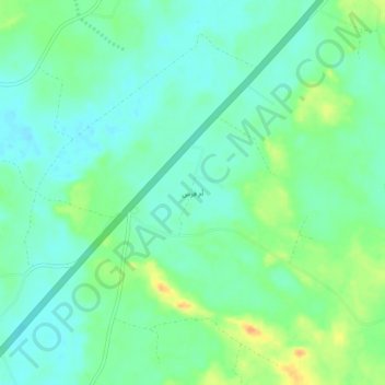
Name: Umm Furs topographic map, elevation, terrain.
Location: Umm Furs, Sakaka, Al Jawf Region, Saudi Arabia (29.93344 40.07780 29.97344 40.11780)
Average elevation: 1,942 ft
Minimum elevation: 1,903 ft
Maximum elevation: 2,024 ft
Thank you for supporting this site ❤️
Make a donation
Make a donation
Gear up for your next adventure:
As an Amazon Associate, this site earns from qualifying purchases at no extra cost to you.