
抓喜秀龙镇 topographic map
Interactive map
Click on the map to display elevation.
About this map
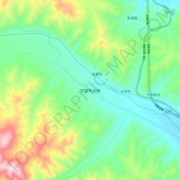
Name: 抓喜秀龙镇 topographic map, elevation, terrain.
Location: 抓喜秀龙镇, 武威市, 甘肃省, 中国 (37.14582 102.75824 37.22582 102.83824)
Average elevation: 9,875 ft
Minimum elevation: 9,199 ft
Maximum elevation: 11,424 ft
Other topographic maps
Click on a map to view its topography, its elevation and its terrain.