
Pulau Romang topographic map
Interactive map
Click on the map to display elevation.
About this map
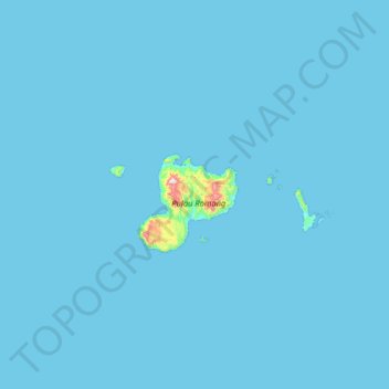
Name: Pulau Romang topographic map, elevation, terrain.
Location: Pulau Romang, Maluku, Indonesia (-7.87896 127.09598 -7.23896 127.73598)
Average elevation: 26 ft
Minimum elevation: 0 ft
Maximum elevation: 2,274 ft
Other topographic maps
Click on a map to view its topography, its elevation and its terrain.
Aroa
Indonesia > Maluku > Seram Bagian Timur
Aroa, Seram Bagian Timur, Maluku, Indonesia
Average elevation: 69 ft