Geolocate

Jadwin topographic map

Click on the map to display elevation.

About this map

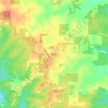
Name: Jadwin topographic map, elevation, terrain.

Location: Jadwin, Dent County, Missouri, 65501, United States (37.46671 -91.59098 37.50671 -91.55098)

Average elevation: 1,250 ft

Minimum elevation: 1,112 ft

Maximum elevation: 1,375 ft

Dent County trails, hiking, mountain biking, running and outdoor activities

Gear up for your next adventure:

📶Satellite Messenger - Communication device off‑grid
🧦Merino Wool Socks - Moisture-wicking, blister-preventing socks for long treks
🗺️Topographic Maps - Detailed topo maps for hiking, exploring and outdoor navigation
🪓Survival Multi‑Tool - Versatile tool for camp and trail tasks
☀️Outdoor Sunscreen - High protection sunscreen for outdoor activities

As an Amazon Associate, this site earns from qualifying purchases at no extra cost to you.