Geolocate

Union topographic map

Click on the map to display elevation.

About this map

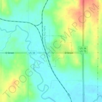
Name: Union topographic map, elevation, terrain.

Location: Union, Cass County, Nebraska, United States (40.80967 -95.92612 40.81778 -95.91566)

Average elevation: 1,010 ft

Minimum elevation: 945 ft

Maximum elevation: 1,132 ft

Cass County trails, hiking, mountain biking, running and outdoor activities

Gear up for your next adventure:

Backpacking Tents - Weight-optimized shelters for multi-day topographic surveys
🔪Outdoor Multitools - Essential survival tools for gear repair and field use
🎒Hydration Pack - Hands‑free water reservoir for long hikes
GPS Sports Watch - GPS watch for running, hiking and training
🔦Powerful Headlamps - Ultra-bright hands-free lighting for night navigation

As an Amazon Associate, this site earns from qualifying purchases at no extra cost to you.