
Thank you for supporting this site ❤️
Make a donation
Make a donation
Gear up for your next adventure:
As an Amazon Associate, this site earns from qualifying purchases at no extra cost to you.
Whiteclay topographic map
Click on the map to display elevation.
Thank you for supporting this site ❤️
Make a donation
Make a donation
Gear up for your next adventure:
As an Amazon Associate, this site earns from qualifying purchases at no extra cost to you.
About this map
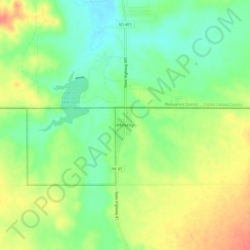
Name: Whiteclay topographic map, elevation, terrain.
Location: Whiteclay, Sheridan County, Nebraska, 69365, United States (42.97700 -102.57457 43.01700 -102.53457)
Average elevation: 3,297 ft
Minimum elevation: 3,219 ft
Maximum elevation: 3,389 ft
Thank you for supporting this site ❤️
Make a donation
Make a donation
Gear up for your next adventure:
As an Amazon Associate, this site earns from qualifying purchases at no extra cost to you.