
Meulebeke topographic map
Interactive map
Click on the map to display elevation.
About this map
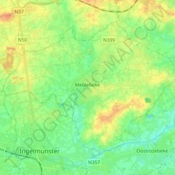
Name: Meulebeke topographic map, elevation, terrain.
Location: Meulebeke, Tielt, Flandre-Occidentale, 8760, Belgique (50.91912 3.22909 50.97803 3.35269)
Average elevation: 66 ft
Minimum elevation: 16 ft
Maximum elevation: 131 ft