Geolocate

Long topographic map

Click on the map to display elevation.

About this map

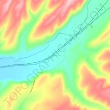
Name: Long topographic map, elevation, terrain.

Location: Long, Columbia County, Washington, United States (46.27153 -118.04661 46.31153 -118.00661)

Average elevation: 1,732 ft

Minimum elevation: 1,421 ft

Maximum elevation: 2,119 ft

Columbia County trails, hiking, mountain biking, running and outdoor activities

Other topographic maps

Click on a map to view its topography, its elevation and its terrain.

Starbuck

United States > Washington > Columbia County

Average elevation: 843 ft

Dayton

United States > Washington > Columbia County

Average elevation: 1,814 ft

Gear up for your next adventure:

🌲Outdoor Survival Books - Best books on survival skills
🔥Plasma Lighters - Windproof lighters that work in any weather condition
🎒Trail Energy Bars - High‑calorie bars for hiking energy
🥾Women's Hiking Boots - Top-rated trail boots with ankle support and superior grip
🧭Pro Hiking Compasses - High-accuracy liquid-filled compasses for topographic orientation

As an Amazon Associate, this site earns from qualifying purchases at no extra cost to you.