
Point of Rocks topographic map
Click on the map to display elevation.
About this map
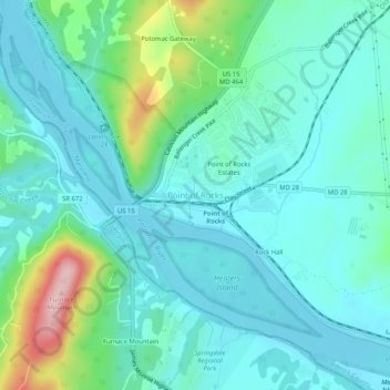
Name: Point of Rocks topographic map, elevation, terrain.
Average elevation: 338 ft
Minimum elevation: 197 ft
Maximum elevation: 889 ft
Frederick County trails, hiking, mountain biking, running and outdoor activities
Other topographic maps
Click on a map to view its topography, its elevation and its terrain.
Monocacy River
United States > Maryland > Frederick County > Bartonsville > Pine Cliff
Average elevation: 318 ft