Geolocate

San Isidro topographic map

Click on the map to display elevation.

About this map

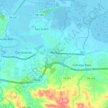
Name: San Isidro topographic map, elevation, terrain.

Location: San Isidro, Canóvanas, Puerto Rico, United States (18.34275 -65.91976 18.41345 -65.86748)

Average elevation: 95 ft

Minimum elevation: -13 ft

Maximum elevation: 561 ft

Puerto Rico trails, hiking, mountain biking, running and outdoor activities

Gear up for your next adventure:

🧣Merino Neck Gaiters - Multi-functional headwear for wind and sun protection
🧥Men's Rain Shells - Premium waterproof and breathable jackets for mountain weather
🔪Outdoor Multitools - Essential survival tools for gear repair and field use
🪶Wildlife Field Guides - Learn animal tracking and species ID
🎒Trail Energy Bars - High‑calorie bars for hiking energy

As an Amazon Associate, this site earns from qualifying purchases at no extra cost to you.