Geolocate

New Strawn topographic map

Interactive map

Click on the map to display elevation.

About this map

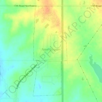
Name: New Strawn topographic map, elevation, terrain.

Location: New Strawn, Coffey County, Kansas, United States (38.25014 -95.74807 38.27398 -95.73648)

Average elevation: 1,102 ft

Minimum elevation: 1,050 ft

Maximum elevation: 1,165 ft

Other topographic maps

Click on a map to view its topography, its elevation and its terrain.

Gridley

United States > Kansas > Coffey County

Gridley, Coffey County, Kansas, United States

Average elevation: 1,148 ft

Lebo

United States > Kansas > Coffey County

Lebo, Coffey County, Kansas, United States

Average elevation: 1,152 ft

Waverly

United States > Kansas > Coffey County

Waverly, Coffey County, Kansas, United States

Average elevation: 1,129 ft

Burlington

United States > Kansas > Coffey County

Burlington, Coffey County, Kansas, United States

Average elevation: 1,033 ft

LeRoy

United States > Kansas > Coffey County

LeRoy, Coffey County, Kansas, 66857, United States

Average elevation: 1,004 ft