Geolocate

Moncrivello topographic map

Click on the map to display elevation.

About this map

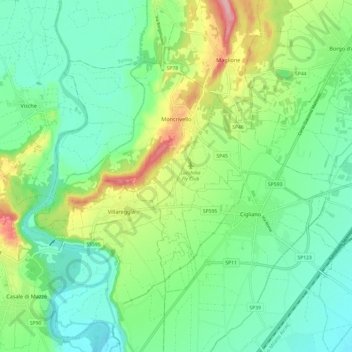
Name: Moncrivello topographic map, elevation, terrain.

Location: Moncrivello, Vercelli, Piedmont, Italy (45.29057 7.94684 45.34654 8.06756)

Average elevation: 794 ft

Minimum elevation: 630 ft

Maximum elevation: 1,175 ft

Other topographic maps

Click on a map to view its topography, its elevation and its terrain.

San Gottardo

Italy > Piedmont > Vercelli > Rimella

Average elevation: 5,033 ft

Alpe sn14

Italy > Piedmont > Vercelli > Boccioleto > Sella Bassa

Average elevation: 4,478 ft

Sn3

Italy > Piedmont > Vercelli > Boccioleto

Average elevation: 4,026 ft

Lago Bowditch

Italy > Piedmont > Vercelli > Alagna Valsesia

Average elevation: 9,006 ft

Mollie

Italy > Piedmont > Vercelli > Cellio con Breia > Mollie

Average elevation: 1,765 ft

sn3

Italy > Piedmont > Vercelli > Rassa

Average elevation: 6,014 ft

Gear up for your next adventure:

🏥Hiking First Aid Kits - Comprehensive medical kits for remote trail injuries
👟Trail Running Shoes - Lightweight shoes for trail runners
🥩Freeze-Dried Meals - Nutritious and lightweight food for remote expeditions
🔦Powerful Headlamps - Ultra-bright hands-free lighting for night navigation
🪶Camp Gear Gift Set - Perfect gift bundle for outdoor fans

As an Amazon Associate, this site earns from qualifying purchases at no extra cost to you.