Geolocate

Pinaglubayan topographic map

Click on the map to display elevation.

About this map

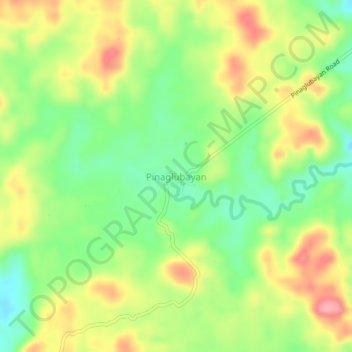
Name: Pinaglubayan topographic map, elevation, terrain.

Location: Pinaglubayan, Polillo, Quezon, Calabarzon, Philippines (14.73108 121.95976 14.77108 121.99976)

Average elevation: 256 ft

Minimum elevation: 85 ft

Maximum elevation: 456 ft

Gear up for your next adventure:

🔊Portable Camp Speaker - Music and alerts at camp
🧯Emergency Survival Kit - All‑in‑one survival essentials for the backcountry
🪶LED Camping Lantern - Bright lantern for camp lighting
🪶Camp Gear Gift Set - Perfect gift bundle for outdoor fans
🖼️Topo Map Wall Art - Decorative topographic prints of famous peaks and regions

As an Amazon Associate, this site earns from qualifying purchases at no extra cost to you.