Geolocate

Kulasi topographic map

Click on the map to display elevation.

About this map

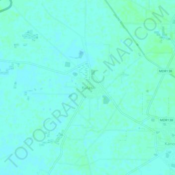
Name: Kulasi topographic map, elevation, terrain.

Location: Kulasi, Bahadurgarh, Jhajjar, Haryana, 124525, India (28.75266 76.89035 28.79266 76.93035)

Average elevation: 715 ft

Minimum elevation: 705 ft

Maximum elevation: 722 ft

Gear up for your next adventure:

🦟Ultrasonic Repellers - Create a bug-free zone at your camp or rest stop
🧭Map Reading Tools - Tools and kits for map navigation
📌Outdoor GPS Map App - Apps and devices for digital topographic navigation
🎒Gear Packing Cubes - Organize your backpack efficiently
🔦Compact Flashlight - Reliable flashlight for emergencies

As an Amazon Associate, this site earns from qualifying purchases at no extra cost to you.