Geolocate

Soesterberg topographic map

Click on the map to display elevation.

About this map

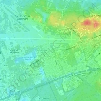
Name: Soesterberg topographic map, elevation, terrain.

Location: Soesterberg, Soest, Utrecht, Netherlands (52.11027 5.27387 52.13570 5.33385)

Average elevation: 59 ft

Minimum elevation: 10 ft

Maximum elevation: 164 ft

Gear up for your next adventure:

📚Navigation Handbooks - Master the art of reading topographic maps and using a compass
🎒Outdoor Daypacks - Lightweight backpacks designed for carrying maps and essential gear
🪑Portable Camp Table - Compact table for campsite meals
🛏️Cold Weather Sleeping Bag - Warm sleeping bag for cold conditions
🛰️Satellite Messengers - Emergency SOS and two-way messaging for off-grid adventures

As an Amazon Associate, this site earns from qualifying purchases at no extra cost to you.