Geolocate

Versova topographic map

Click on the map to display elevation.

About this map

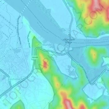
Name: Versova topographic map, elevation, terrain.

Location: Versova, Mira-Bhayander, Thane, Maharashtra, 401104, India (19.26453 72.87956 19.30453 72.91956)

Average elevation: 85 ft

Minimum elevation: -13 ft

Maximum elevation: 610 ft

Other topographic maps

Click on a map to view its topography, its elevation and its terrain.

Dahisar River

India > Maharashtra > Thane > Mira-Bhayander

Average elevation: 272 ft

Gear up for your next adventure:

⛑️Personal Locator Beacon - Safety beacon for emergencies
🧭Hiking Compass - Precision compass for reliable navigation in the wilderness
🎒Trekking Poles - Sturdy poles for balance and stability on rough terrain
🥾Men's Hiking Boots - Durable, waterproof footwear for rugged terrain and steep inclines
💧Water Filtration Bottles - Safely drink from streams and lakes while exploring

As an Amazon Associate, this site earns from qualifying purchases at no extra cost to you.