
宕昌县 topographic map
Interactive map
Click on the map to display elevation.
About this map
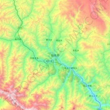
Name: 宕昌县 topographic map, elevation, terrain.
Location: 宕昌县, 陇南市, 甘肃省, 中国 (33.88874 104.23009 34.20874 104.55009)
Average elevation: 8,110 ft
Minimum elevation: 4,964 ft
Maximum elevation: 13,284 ft
Other topographic maps
Click on a map to view its topography, its elevation and its terrain.