
哈达铺镇 topographic map
Interactive map
Click on the map to display elevation.
About this map
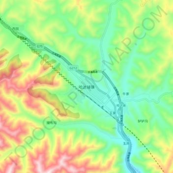
Name: 哈达铺镇 topographic map, elevation, terrain.
Location: 哈达铺镇, 宕昌县, 陇南市, 甘肃省, 中国 (34.19132 104.18301 34.27132 104.26301)
Average elevation: 7,874 ft
Minimum elevation: 7,067 ft
Maximum elevation: 9,242 ft
Other topographic maps
Click on a map to view its topography, its elevation and its terrain.