
Avenue District topographic map
Interactive map
Click on the map to display elevation.
About this map
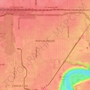
Name: Avenue District topographic map, elevation, terrain.
Location: Avenue District, Edmonton, Alberta, Canada (53.55367 -113.51234 53.58176 -113.44380)
Average elevation: 2,175 ft
Minimum elevation: 1,998 ft
Maximum elevation: 2,215 ft
Other topographic maps
Click on a map to view its topography, its elevation and its terrain.
Lake District
Lake District, Edmonton, Alberta, Canada
Average elevation: 2,244 ft
The Hamptons
The Hamptons, The Grange, Edmonton, Alberta, Canada
Average elevation: 2,297 ft