Geolocate

Kanhera topographic map

Click on the map to display elevation.

About this map

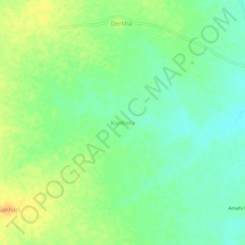
Name: Kanhera topographic map, elevation, terrain.

Location: Kanhera, Isagarh Tahsil, Ashok Nagar, Madhya Pradesh, India (24.67590 77.68417 24.71590 77.72417)

Average elevation: 1,634 ft

Minimum elevation: 1,588 ft

Maximum elevation: 1,693 ft

Gear up for your next adventure:

🛰️Handheld GPS Units - Professional satellite navigators for precise backcountry mapping
🔦Compact Flashlight - Reliable flashlight for emergencies
🔪Outdoor Multitools - Essential survival tools for gear repair and field use
🧤Tactile Hiking Gloves - Keep hands warm while operating GPS and smartphone screens
🩳Quick‑Dry Hiking Shorts - Comfortable and quick‑dry shorts for summer hiking

As an Amazon Associate, this site earns from qualifying purchases at no extra cost to you.