
Verrado topographic map
Click on the map to display elevation.
About this map
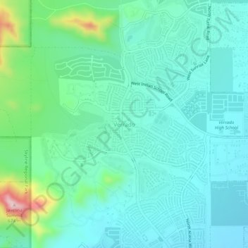
Name: Verrado topographic map, elevation, terrain.
Location: Verrado, Buckeye, Maricopa County, Arizona, United States (33.47572 -112.53279 33.51572 -112.49279)
Average elevation: 1,345 ft
Minimum elevation: 1,138 ft
Maximum elevation: 2,152 ft
Maricopa County trails, hiking, mountain biking, running and outdoor activities