Geolocate

Dacnan topographic map

Click on the map to display elevation.

About this map

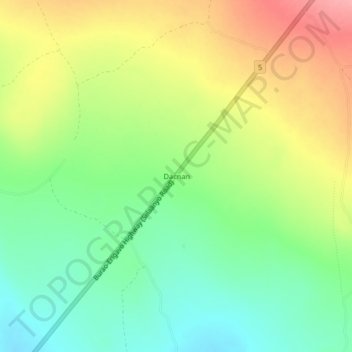
Name: Dacnan topographic map, elevation, terrain.

Location: Dacnan, Erigavo District, Sanaag, Somaliland, Somalia (10.48228 47.26498 10.52228 47.30498)

Average elevation: 5,318 ft

Minimum elevation: 5,171 ft

Maximum elevation: 5,512 ft

Gear up for your next adventure:

☀️Outdoor Sunscreen - High protection sunscreen for outdoor activities
🦶Hiking Gaiters - Keep debris and water out of your boots
🌡️Portable Weather Meter - Track weather conditions on the trail
🧭Hiking Compass - Precision compass for reliable navigation in the wilderness
🧦Hiking Socks - Comfortable socks to prevent blisters on long hikes

As an Amazon Associate, this site earns from qualifying purchases at no extra cost to you.