Geolocate

Testa d'Arpy topographic map

Click on the map to display elevation.

About this map

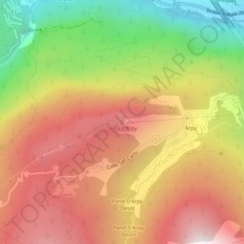
Name: Testa d'Arpy topographic map, elevation, terrain.

Location: Testa d'Arpy, Morgex, Aosta Valley, 11017, Italy (45.74836 7.00041 45.74846 7.00051)

Average elevation: 5,417 ft

Minimum elevation: 3,107 ft

Maximum elevation: 7,320 ft

Gear up for your next adventure:

🔥Camping Stove - Portable stove for camping and backcountry cooking
📶Vehicle Signal Boosters - Improve reception in rural areas while driving to trailheads
🛰️Handheld GPS Units - Professional satellite navigators for precise backcountry mapping
🧥Men's Rain Shells - Premium waterproof and breathable jackets for mountain weather
🕶️GPS Smartphone Mount - Secure mount for phone navigation

As an Amazon Associate, this site earns from qualifying purchases at no extra cost to you.