Geolocate

Laporte topographic map

Click on the map to display elevation.

About this map

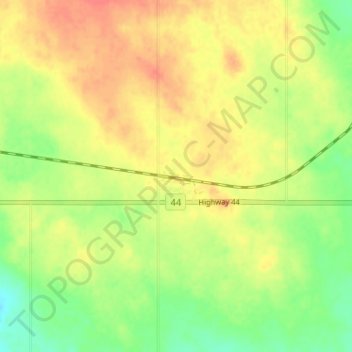
Name: Laporte topographic map, elevation, terrain.

Location: Laporte, Chesterfield No. 261, Saskatchewan, Canada (51.19577 -109.53248 51.23577 -109.49248)

Average elevation: 2,398 ft

Minimum elevation: 2,313 ft

Maximum elevation: 2,470 ft

Gear up for your next adventure:

Camping Coffee Makers - Enjoy premium coffee at the summit or campsite
🦶Carbon Trekking Poles - Reduce knee impact on steep descents with ultra-light poles
🏕️Family Camping Gear - Essentials for group camping trips
🎒Day Hiking Backpack - Lightweight backpack perfect for day trips and outdoor adventures
🧭Map Reading Tools - Tools and kits for map navigation

As an Amazon Associate, this site earns from qualifying purchases at no extra cost to you.