
Thank you for supporting this site ❤️
Make a donation
Make a donation
Gear up for your next adventure:
As an Amazon Associate, this site earns from qualifying purchases at no extra cost to you.
Lanzaurco topographic map
Click on the map to display elevation.
Thank you for supporting this site ❤️
Make a donation
Make a donation
Gear up for your next adventure:
As an Amazon Associate, this site earns from qualifying purchases at no extra cost to you.
About this map
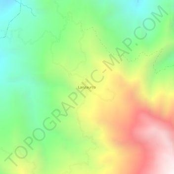
Name: Lanzaurco topographic map, elevation, terrain.
Location: Lanzaurco, Lanza-Urko, Salinas, Guaranda, Bolívar, Ecuador (-1.34777 -79.16866 -1.30777 -79.12866)
Average elevation: 6,227 ft
Minimum elevation: 4,272 ft
Maximum elevation: 9,026 ft
Thank you for supporting this site ❤️
Make a donation
Make a donation
Gear up for your next adventure:
As an Amazon Associate, this site earns from qualifying purchases at no extra cost to you.