
Thank you for supporting this site ❤️
Make a donation
Make a donation
Gear up for your next adventure:
As an Amazon Associate, this site earns from qualifying purchases at no extra cost to you.
Khromtau topographic map
Click on the map to display elevation.
Thank you for supporting this site ❤️
Make a donation
Make a donation
Gear up for your next adventure:
As an Amazon Associate, this site earns from qualifying purchases at no extra cost to you.
About this map
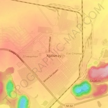
Name: Khromtau topographic map, elevation, terrain.
Location: Khromtau, Khromtau District, Aktobe Region, 031100, Kazakhstan (50.23670 58.41013 50.27830 58.47657)
Average elevation: 1,388 ft
Minimum elevation: 912 ft
Maximum elevation: 1,660 ft
Thank you for supporting this site ❤️
Make a donation
Make a donation
Gear up for your next adventure:
As an Amazon Associate, this site earns from qualifying purchases at no extra cost to you.