Geolocate

Naranjillo topographic map

Click on the map to display elevation.

About this map

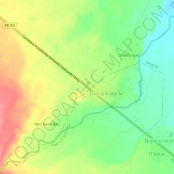
Name: Naranjillo topographic map, elevation, terrain.

Location: Naranjillo, Awajún, Rioja, San Martín, Perú (-5.82395 -77.42084 -5.78395 -77.38084)

Average elevation: 2,923 ft

Minimum elevation: 2,795 ft

Maximum elevation: 3,074 ft

Gear up for your next adventure:

⛑️Personal Locator Beacon - Safety beacon for emergencies
🗃️Trail First Aid Kit - Essential kit for outdoor injuries and emergencies
🌄Hiking Binoculars - Compact binoculars for scenic views and trail spotting
🛡️Bear Spray Outdoor - Protection in bear country hikes
🔌USB Car Charger - Car charger for on‑the‑go power needs

As an Amazon Associate, this site earns from qualifying purchases at no extra cost to you.