Geolocate

San Isidro topographic map

Click on the map to display elevation.

About this map

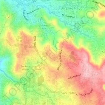
Name: San Isidro topographic map, elevation, terrain.

Location: San Isidro, Antipolo, Rizal, Calabarzon, 1870, Philippines (14.58707 121.17556 14.62244 121.20481)

Average elevation: 630 ft

Minimum elevation: 364 ft

Maximum elevation: 892 ft

Other topographic maps

Click on a map to view its topography, its elevation and its terrain.

Boso-boso River

Philippines > Rizal > Antipolo > San Joseph

Average elevation: 846 ft

Boso-boso River

Philippines > Rizal > Antipolo

Average elevation: 755 ft

Gear up for your next adventure:

📷Action Cameras - Rugged cameras to document your journeys across rugged terrain
🪶Thermal Camp Blanket - Extra warmth for cold nights
🕶️Glacier Sunglasses - Side shields to protect eyes from high-altitude snow glare
🔌USB Car Charger - Car charger for on‑the‑go power needs
🔋Solar Power Banks - Keep your GPS and phone charged in remote wilderness areas

As an Amazon Associate, this site earns from qualifying purchases at no extra cost to you.