
Grassi Lakes topographic map
Click on the map to display elevation.
About this map
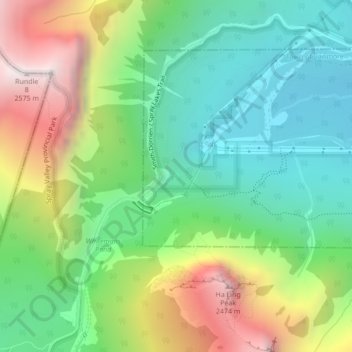
Name: Grassi Lakes topographic map, elevation, terrain.
Location: Grassi Lakes, Town of Canmore, Alberta, Canada (51.07249 -115.40613 51.07300 -115.40544)
Average elevation: 5,915 ft
Minimum elevation: 4,508 ft
Maximum elevation: 8,419 ft