
Thank you for supporting this site ❤️
Make a donation
Make a donation
Gear up for your next adventure:
As an Amazon Associate, this site earns from qualifying purchases at no extra cost to you.
Aday topographic map
Click on the map to display elevation.
Thank you for supporting this site ❤️
Make a donation
Make a donation
Gear up for your next adventure:
As an Amazon Associate, this site earns from qualifying purchases at no extra cost to you.
About this map
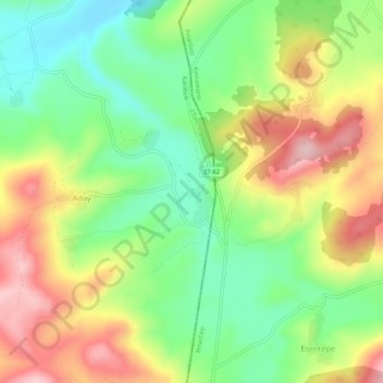
Name: Aday topographic map, elevation, terrain.
Location: Aday, Eflani, Karabük, Région de la mer Noire, Turquie (41.51656 33.02015 41.55656 33.06015)
Average elevation: 3,350 ft
Minimum elevation: 3,041 ft
Maximum elevation: 3,783 ft
Thank you for supporting this site ❤️
Make a donation
Make a donation
Gear up for your next adventure:
As an Amazon Associate, this site earns from qualifying purchases at no extra cost to you.