Geolocate

Usab topographic map

Click on the map to display elevation.

About this map

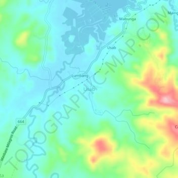
Name: Usab topographic map, elevation, terrain.

Location: Usab, Masbate City, Masbate, Bicol Region, Philippines (12.31113 123.55973 12.35113 123.59973)

Average elevation: 138 ft

Minimum elevation: -7 ft

Maximum elevation: 551 ft

Gear up for your next adventure:

🧯Portable Fire Pit - Compact fire pit for camping spots
🌡️Handheld Weather Meters - Measure wind, temp, and pressure for safe mountain travel
Backpacking Tents - Weight-optimized shelters for multi-day topographic surveys
🧣Merino Neck Gaiters - Multi-functional headwear for wind and sun protection
📚Navigation Handbooks - Master the art of reading topographic maps and using a compass

As an Amazon Associate, this site earns from qualifying purchases at no extra cost to you.