
Thank you for supporting this site ❤️
Make a donation
Make a donation
Gear up for your next adventure:
As an Amazon Associate, this site earns from qualifying purchases at no extra cost to you.
Cwmgiedd topographic map
Click on the map to display elevation.
Thank you for supporting this site ❤️
Make a donation
Make a donation
Gear up for your next adventure:
As an Amazon Associate, this site earns from qualifying purchases at no extra cost to you.
About this map
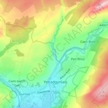
Name: Cwmgiedd topographic map, elevation, terrain.
Location: Cwmgiedd, Ystradgynlais, Powys, Wales, SA9 1LS, United Kingdom (51.76756 -3.77926 51.80756 -3.73926)
Average elevation: 531 ft
Minimum elevation: 223 ft
Maximum elevation: 988 ft
Thank you for supporting this site ❤️
Make a donation
Make a donation
Gear up for your next adventure:
As an Amazon Associate, this site earns from qualifying purchases at no extra cost to you.