Geolocate

Cachiche topographic map

Click on the map to display elevation.

About this map

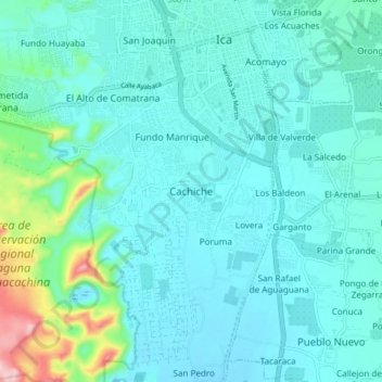
Name: Cachiche topographic map, elevation, terrain.

Location: Cachiche, Ica, 11004, Perú (-14.13589 -75.77620 -14.05589 -75.69620)

Average elevation: 1,385 ft

Minimum elevation: 1,263 ft

Maximum elevation: 2,077 ft

Other topographic maps

Click on a map to view its topography, its elevation and its terrain.

Huacachina

Perú > Ica > Ica > Huacachina

Average elevation: 1,440 ft

Plaza de Armas de Ica

Perú > Ica > Ica

Average elevation: 1,342 ft

Parque del Amor

Perú > Ica > Ica

Average elevation: 1,339 ft

Huacachina

Perú > Ica > Ica > Huacachina

Average elevation: 1,440 ft

Cachiche

Perú > Ica > Ica

Average elevation: 1,306 ft

Plaza de Armas de Ica

Perú > Ica > Ica

Average elevation: 1,342 ft

Gear up for your next adventure:

🧯Emergency Survival Kit - All‑in‑one survival essentials for the backcountry
📚Navigation Handbooks - Master the art of reading topographic maps and using a compass
🔥Camping Stove - Portable stove for camping and backcountry cooking
🪄Magnetic Compass - Accurate compass for navigation
🔦LED Headlamp - Bright and durable LED headlamp for night navigation

As an Amazon Associate, this site earns from qualifying purchases at no extra cost to you.