
Make a donation
Gear up for your next adventure:
As an Amazon Associate, this site earns from qualifying purchases at no extra cost to you.
Elizabeth City topographic map
Click on the map to display elevation.
Make a donation
Gear up for your next adventure:
As an Amazon Associate, this site earns from qualifying purchases at no extra cost to you.
Elizabeth City
According to the United States Census Bureau, Elizabeth City has a total area of 12.2 square miles (31.7 km2), of which 11.6 square miles (30.1 km2) is land and 0.62 square miles (1.6 km2), or 5.09%, is water. Located in the "Inner Banks" region of North Carolina, Elizabeth City is largely flat and marshy with an elevation of only 12 feet (3.7 m) above sea level. The city's semi-coastal geography has played an important role in its history—Elizabeth City once hosted thriving oyster and timber industries.
Make a donation
Gear up for your next adventure:
As an Amazon Associate, this site earns from qualifying purchases at no extra cost to you.
About this map
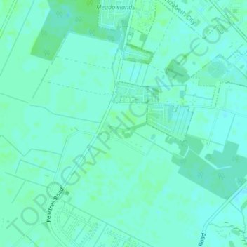
Name: Elizabeth City topographic map, elevation, terrain.
Average elevation: 13 ft
Minimum elevation: -7 ft
Maximum elevation: 23 ft
Make a donation
Gear up for your next adventure:
As an Amazon Associate, this site earns from qualifying purchases at no extra cost to you.