
São Brissos topographic map
Interactive map
Click on the map to display elevation.
About this map
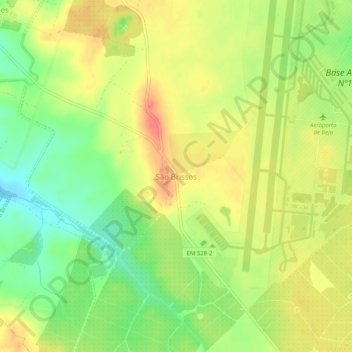
Name: São Brissos topographic map, elevation, terrain.
Location: São Brissos, Beja, 7800-741, Portugal (38.05182 -7.96474 38.09182 -7.92474)
Average elevation: 617 ft
Minimum elevation: 515 ft
Maximum elevation: 709 ft
Other topographic maps
Click on a map to view its topography, its elevation and its terrain.